
5G SafeAlert — BelgiumPilot Project
Real-Time Collision Warnings for Vulnerable Road Users
Using real-time data and 5G connectivity, SafeAlert detects collision risks between vehicles and vulnerable road users and delivers timely warnings to drivers. The system demonstrates how connected technologies can improve road safety in complex urban environments.
Project at a glance
Developed with Proximus and XenomatiX as part of a Belgian 5G pilot programme.
- Challenge
- Detect blind-spot collision risks between drivers and vulnerable road users.
- Approach
- Combine real-time sensing, AI, 5G and C-ITS to assess risks and deliver timely warnings to drivers.
- Outcome
- End-to-end collision warnings validated in live urban traffic.
How to prevent blind spot accidents in urban traffic?
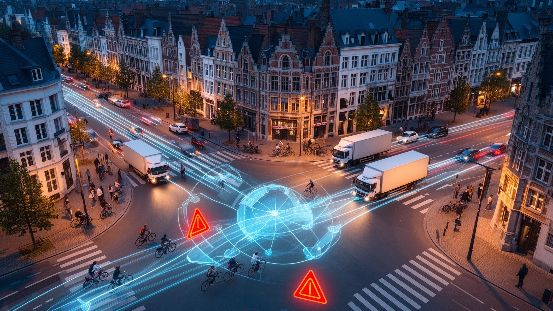
At busy urban intersections, vulnerable road users remain exposed to serious risks. Blind spot accidents, particularly between trucks and cyclists, are among the most critical types of road incidents.
When visibility is limited, relying solely on driver awareness is not sufficient. Preventing these situations requires systems that can detect risks earlier and support drivers with timely, reliable information.
This challenge formed the starting point of the 5G SafeAlert project.
A real-time collision warning system using 5G connectivity
Be-Mobile collaborated with Proximus and XenomatiX within a national 5G pilot programme supported by the Federal Public Service Economy in Belgium.
The project focused on developing and testing a connected safety system that continuously monitors the behaviour of both vehicles and vulnerable road users.
Using real-time data such as position, speed, acceleration and direction, the system maps movement patterns and identifies potential collision risks. When risk levels increase, warnings are generated and delivered to drivers.
At selected locations, LiDAR sensors were used to support and validate detection.
How SafeAlert uses LiDAR, AI, 5G and C-ITS to deliver collision warnings
SafeAlert combines sensing, intelligence, connectivity and coordination into one end-to-end system. Each layer plays a distinct role in turning real-time observations into timely warnings for drivers.
LiDAR-based detection
High-resolution LiDAR sensors capture real-time 3D point clouds of the traffic environment, enabling detection of vehicles and vulnerable road users at intersections.
AI-driven object recognition
Machine learning models classify and track detected objects, distinguishing between vehicles, cyclists and pedestrians to assess collision risk.
Real-time C-ITS platform
Be-Mobile's C-ITS platform processes incoming data, applies risk logic and distributes warnings to connected road users in real time.
Advanced 5G connectivity
A dedicated 5G network slice ensures priority and low latency for safety-critical data flows between infrastructure, platform and vehicles.
How 5G enables real-time road safety warnings
5G enables fast and reliable communication between infrastructure, platforms and road users.
By using a dedicated network slice, the SafeAlert system ensures priority and stability for safety-critical data flows, even under high network load.
Combined with local breakout, where data is processed close to the source, the system achieves low and stable latency in operational conditions.
This makes 5G a key enabler for reliable, real-time mobility applications.
How the SafeAlert system works together
At the core of the system is Be-Mobile's C-ITS platform, enabling real-time communication between infrastructure and road users. The platform integrates data ingestion, processing and warning logic across edge and cloud environments.
- 01
Detect road users
LiDAR sensors and connected signals identify vehicles and vulnerable road users at the intersection.
- 02
Track movement and trajectories
AI models classify each road user and follow their position, speed and direction over time.
- 03
Assess collision risk
The C-ITS platform combines the tracked trajectories and applies risk logic to identify developing conflicts.
- 04
Deliver a warning to the driver
When risk rises, a warning is generated and sent over 5G to the driver in time to react.
From detection challenges to a testable system
The main challenge identified during the project was LiDAR-based detection of vulnerable road users.
While the integration of AI and 5G was successfully achieved, limitations in detection range and positioning accuracy affected real-time performance.
To address this, a hybrid approach was introduced during testing, combining real-time GPS data from a mobile application with post-processed LiDAR data.
This enabled full validation of the end-to-end system while highlighting the importance of continued evolution in sensing technologies.
With this hybrid approach in place, the complete warning chain could be validated in live urban traffic.
What live testing demonstrated in urban traffic
The system was tested at busy intersections in Ghent, including the Heuvelpoort junction. The location combined high traffic intensity, frequent truck-cyclist interactions, strong 5G coverage and suitable conditions for the selected sensing setup.
The live tests demonstrated that the system could:
- Detect developing collision risks in real time in complex traffic situations
- Analyse trajectories of vehicles and vulnerable road users
- Process collision-risk logic across the connected sensing, platform and 5G layers
- Deliver warnings to drivers in operational traffic conditions
- Validate the complete end-to-end warning chain in live urban traffic
What SafeAlert means for the future of connected road safety
The SafeAlert project shows that the core building blocks for real-time connected-safety systems are already in place, while pointing to where further work is needed. The live tests validated the complete warning chain across sensing, intelligence, connectivity and coordination:
- Real-time data processing across edge and cloud environments
- Reliable, low-latency connectivity through dedicated 5G network slicing
- Coordinated system logic combining sensing, AI and C-ITS platforms
- Continued improvements in sensing range and positioning accuracy remain necessary for reliable large-scale deployment
As sensing technologies continue to evolve, large-scale deployment becomes increasingly realistic.
Key takeaways
Technical feasibility: real-time collision-risk detection and warning delivery can be coordinated across sensing, platform and connectivity layers.
Connected communication: 5G and C-ITS provide the communication foundation required for time-critical connected-safety applications.
Path to deployment: further improvements in sensing range and positioning accuracy remain important for reliable large-scale deployment.
Traffic Management
See how this works in traffic management
FlowSuite combines floating car data, connected traffic lights and in-car messaging so road authorities can monitor, analyse and guide traffic on one platform. Explore the solution, or talk to our team about your network.
Explore More
Related Traffic Management content
Success Stories
- Faster, safer emergency response with intelligent traffic light priorityIntelligent Priority — The Netherlands
- Mobilidata: How Your Mobility Data Enhances Safer and Smarter ServicesMobilidata — Flanders
- New traffic control system secures Ghent as the country's sustainable mobility cityCity of Ghent — Belgium